W[i]ldebeest Migration
Predicting the Migration of Wildebeest

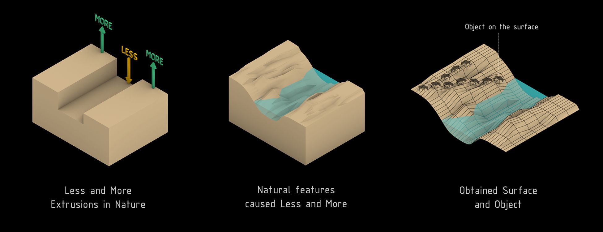
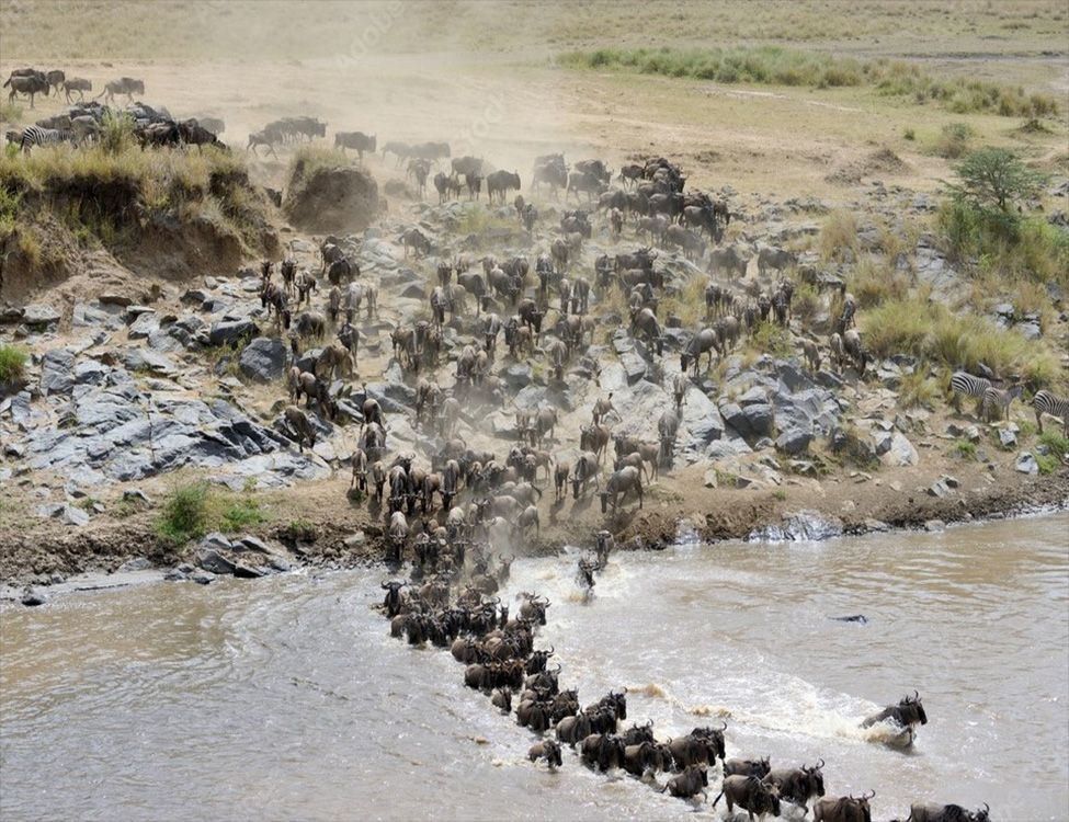
In Africa, wildebeests travel throughout the continent in search of greener pastures and better water resources. Sometimes when crossing rivers, a partial sacrifice is unavoidable since crocodiles are waiting to pick off weaker members. Thus, huge herds cross at once, employing the 'less for more' survival strategy.
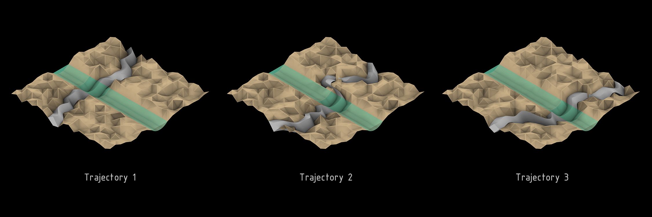
Wildebeest navigate the ‘most convenient’ path on their 3-month-long migration. This project aims to predict this migration trajectory with respect to surface topography by using grasshopper and C# code.
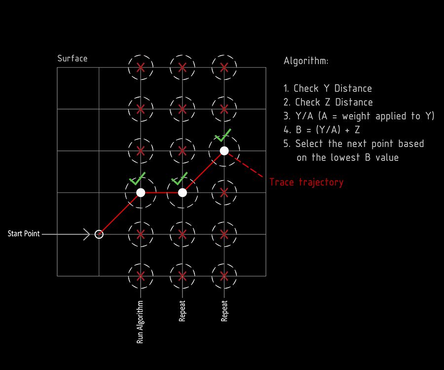
A grid of territory is created with undulating patterns to represent the natural topography of rivers, hills, and valleys. The territory, a combination of dry land and river is fed into the algorithm to be parsed for the optimal path for the wildebeest to travel. This trajectory is determined by calculating the distance between the current location of the wildebeest and the area around it in relation to its horizontal distance and its elevation. A weight is then applied to the horizontal distances and the z distances to give higher priority to less change in elevation compared to a change in horizontal difference. Finding these locations point by point allows us to calculate the most likely trajectory of migration across the land and river.


