Meandering River
Simulating land forming by water over time
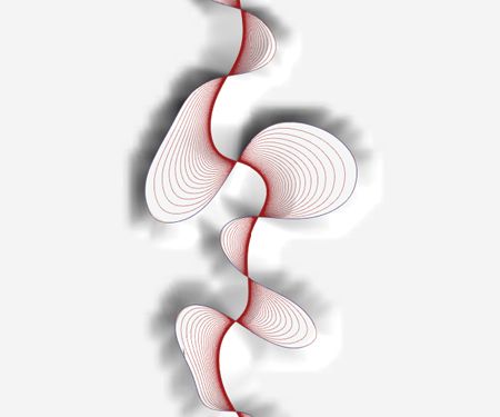
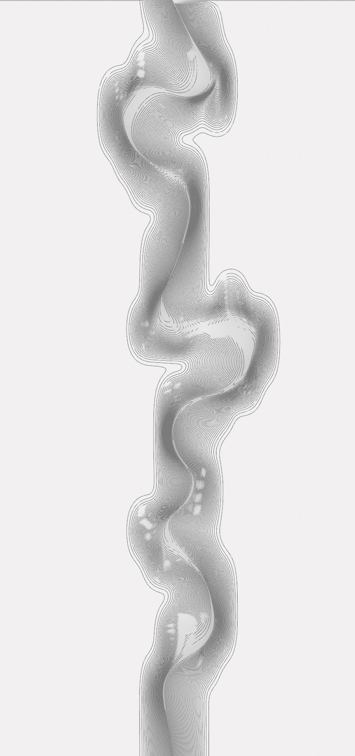
Inspired by the 1994 Harold Fisk’s Meander Maps of the Mississippi River, traced the ever-shifting banks of the Mississippi River from southern Illinois to southern Louisiana. These cartographic marvels give even the untrained a perfect sense of what the report calls the “stages in the development” and the present “behavior” of the river system. This magnificent series of maps inspired us to simulate the changing of rivers through time with the aspiration to understand it better than control it.
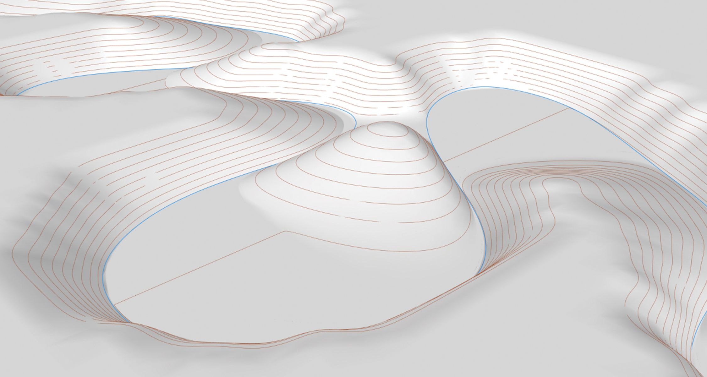
Beginning creating a river course from an interpolated curve and looping it to create meandering iterations, then using the points from meandering rivers or angles to create landforms using the curve's closest point. One of the most vital parts of nature's mimicry process is the river’s oxbow, where the meandering river's curves widen. Then, the river cuts through the curve's narrow neck, isolating it and creating a crescent-shaped lake depicted in many notable river courses across the globe.