Rising Waters
Exploring Sea Level Rise in Boston
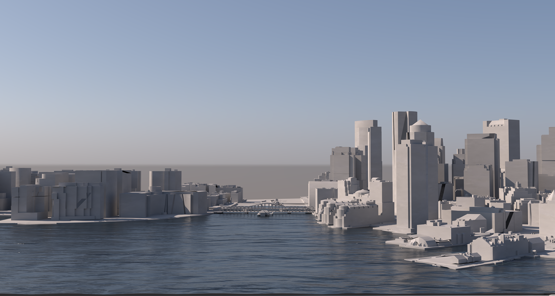
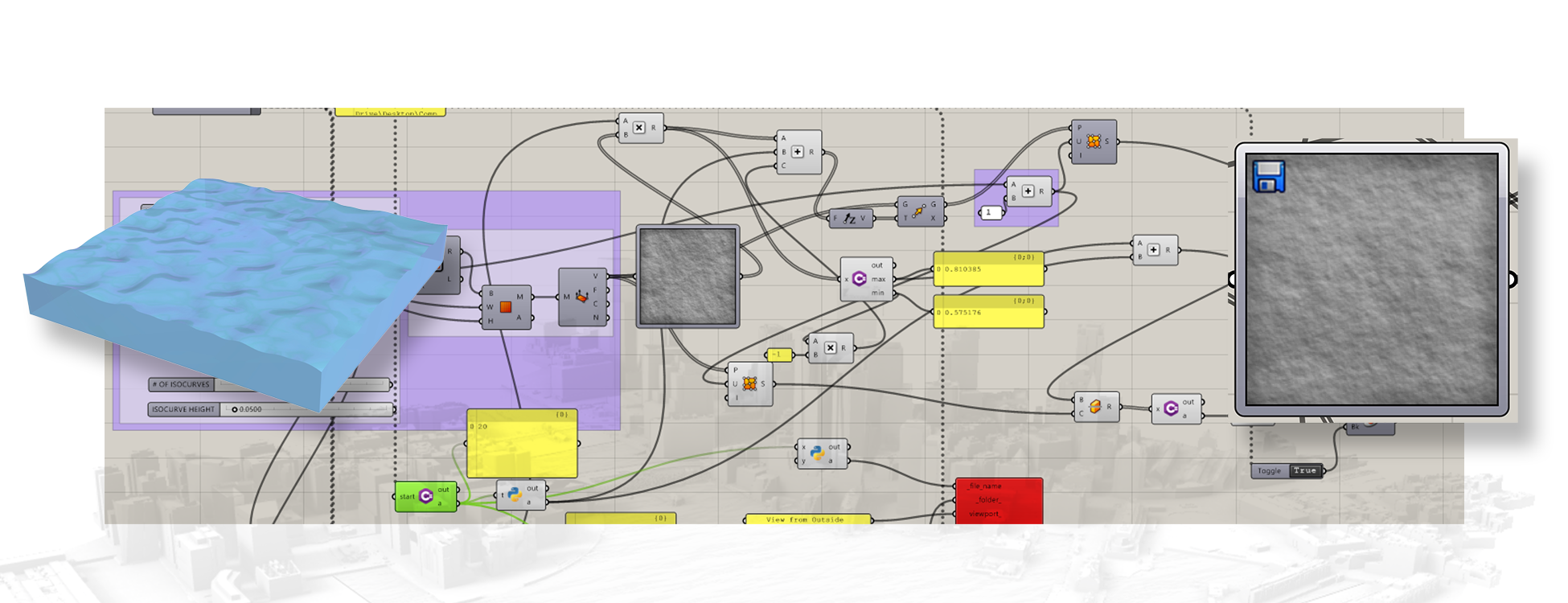
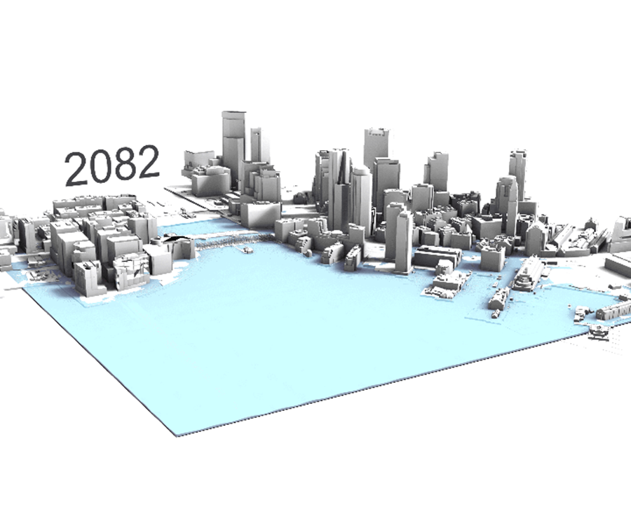
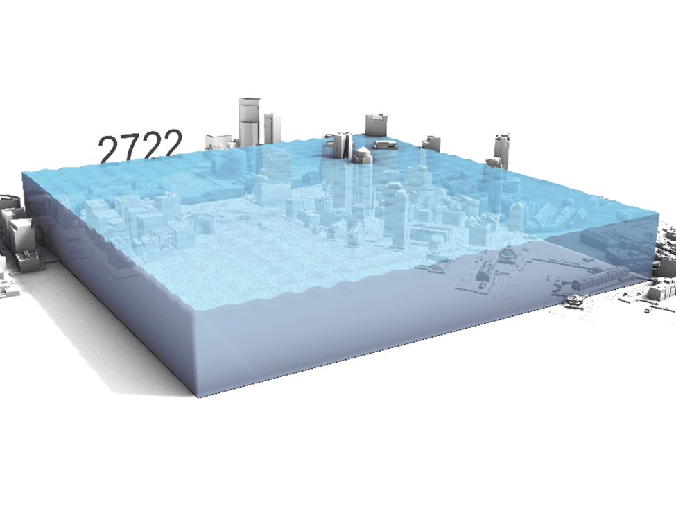
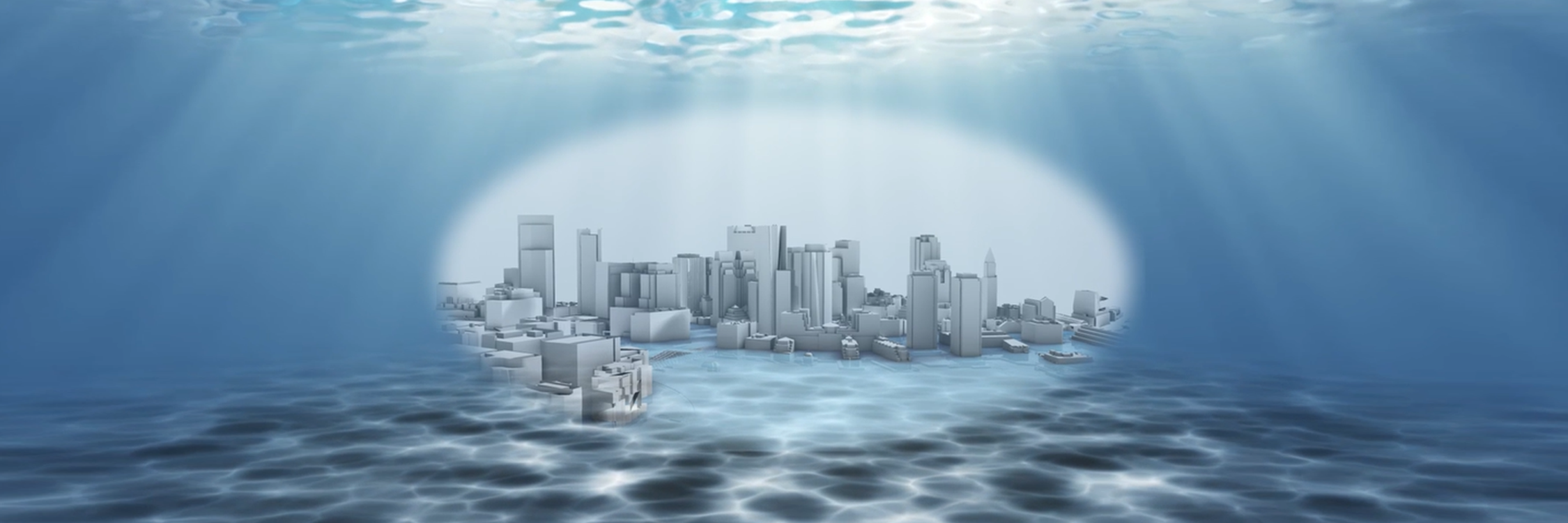
Rising waters is a project contemplating the concept of how nature and atmosphere interact with time in a multi dimensional setting. We chose to analyze rising sea levels in Boston, a city particularly susceptible to increase due to its highly coastal geographical setting. Since 1950, the sea level in Boston has risen by 8 inches, and continues to accelerate the speed it rises. Now it increases about 1 inch every 8 years. Sea level rising in Massachusetts is largely due to changes in ocean circulation and ice melting (like receding glaciers). The city of Boston is at high vulnerability considering its predominantly coastal location. With increased flooding and reclining marshes, Boston is at the hands of the current climate change crisis. In this creation we also reflected on how vegetation and wetlands might be impacted by this receding space and increasing water. Nature is particularly interesting to work with because it is both uncontrollable and yet contains rigid patterns and equations that allow us to predict its movement. We found this topic to relate both to the concept of time and volume that was outlined for this project as well as personal interests of landscape, urbanism, architecture, and climate change.