Parametric Island
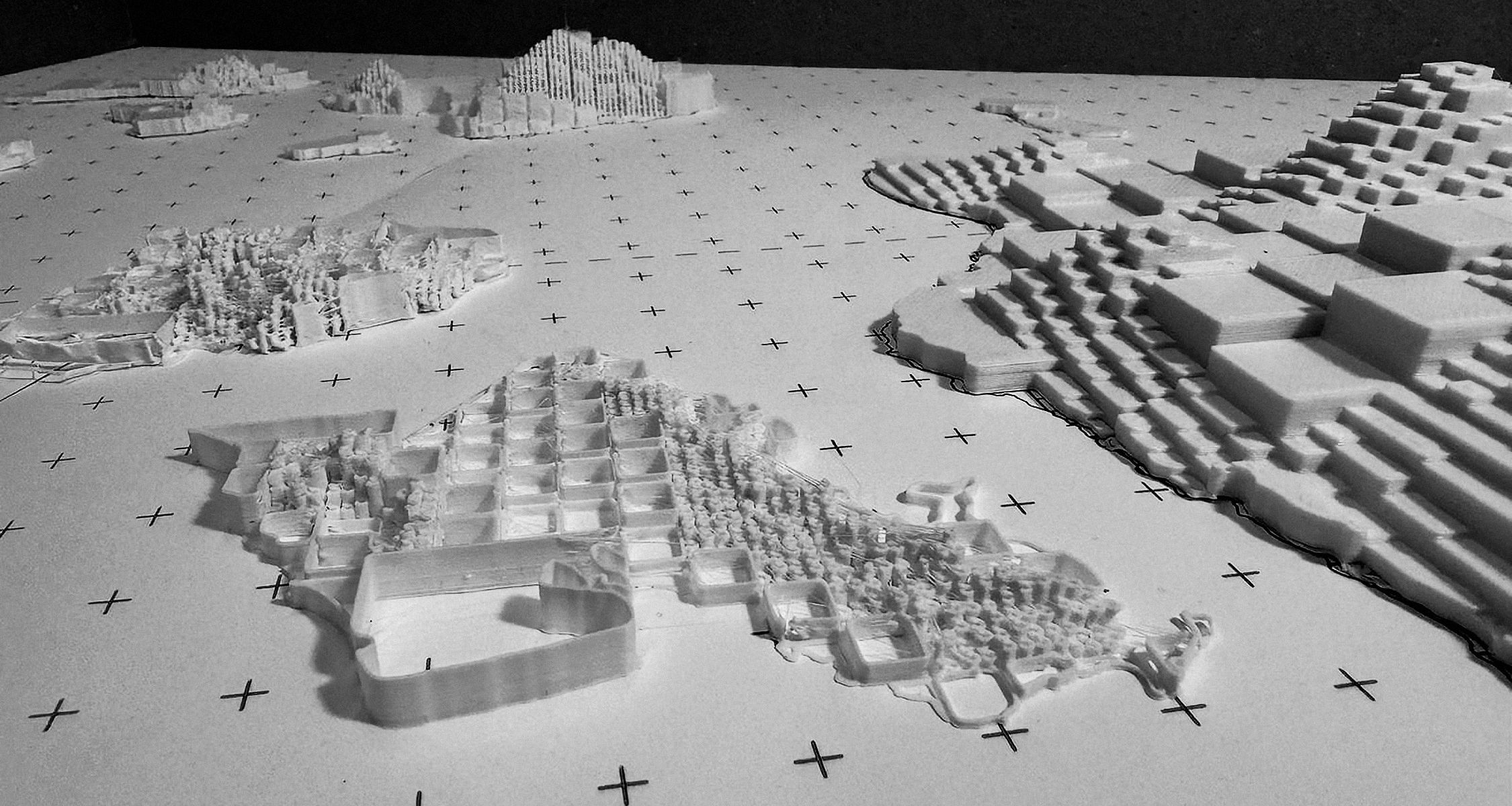
Visualizing Topographic Diversity
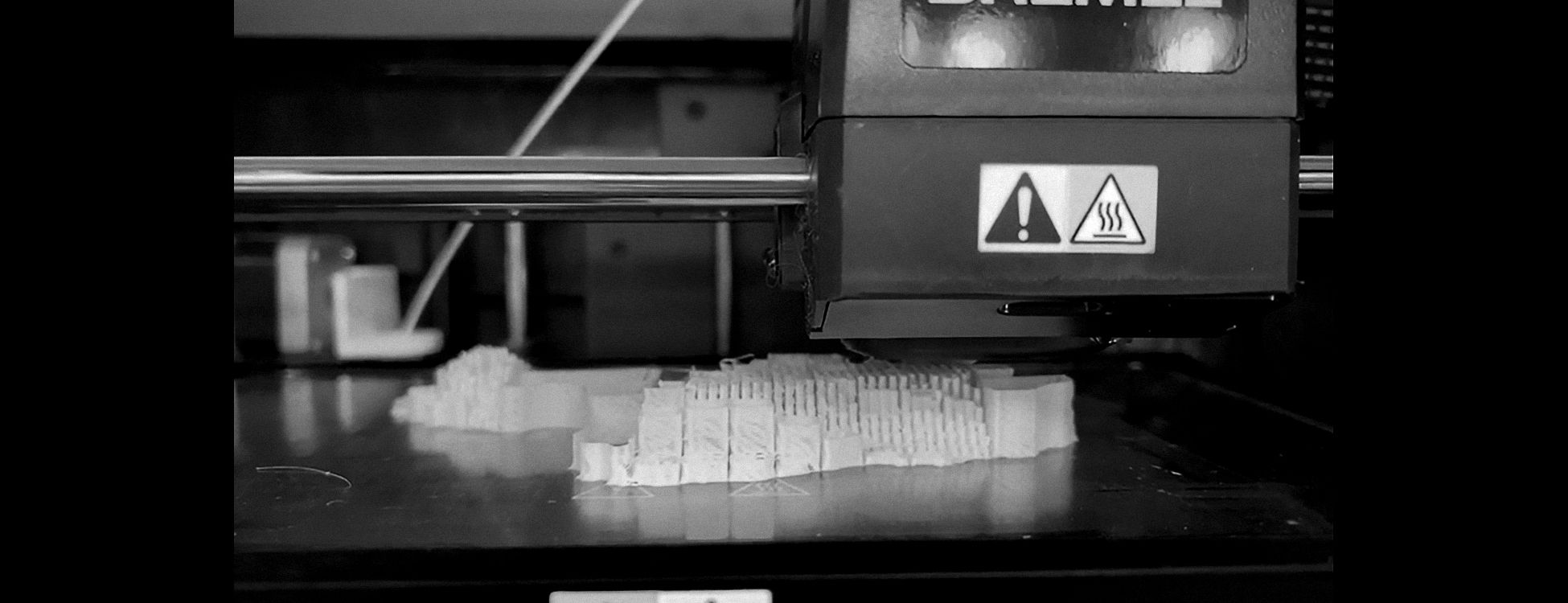
Representation is the technique that many designers choose to reveal or unveil information or data; inevitably, a three-dimensional model is one of the myriad ways of representation that is often used. However, many three-dimensional models often represent places, objects, or how things would look when they are made or mimic things in the real world. This challenge inspired us to imagine a new way of representation through a three-dimensional model that reveals other information rather than how certain things are.
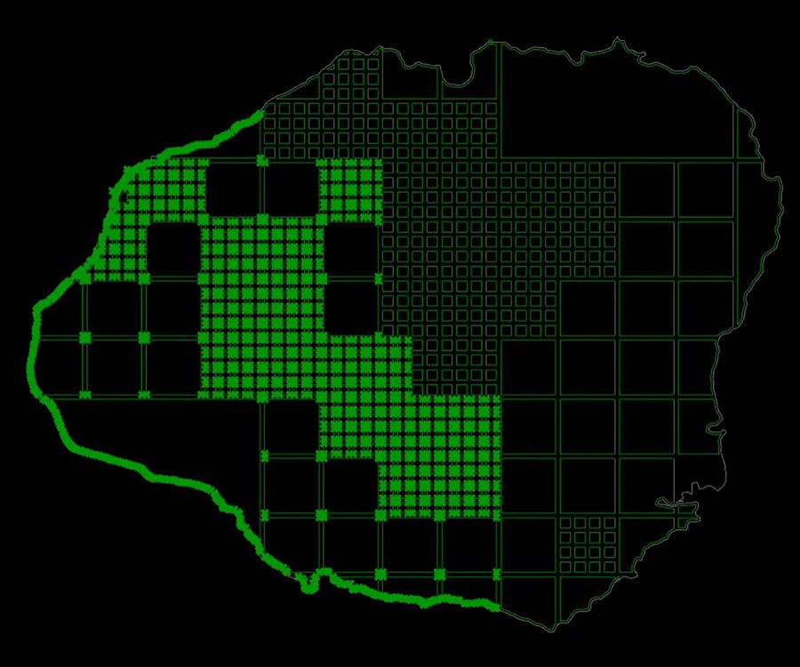
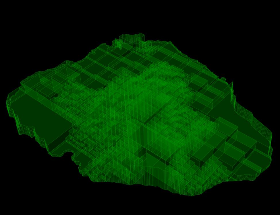
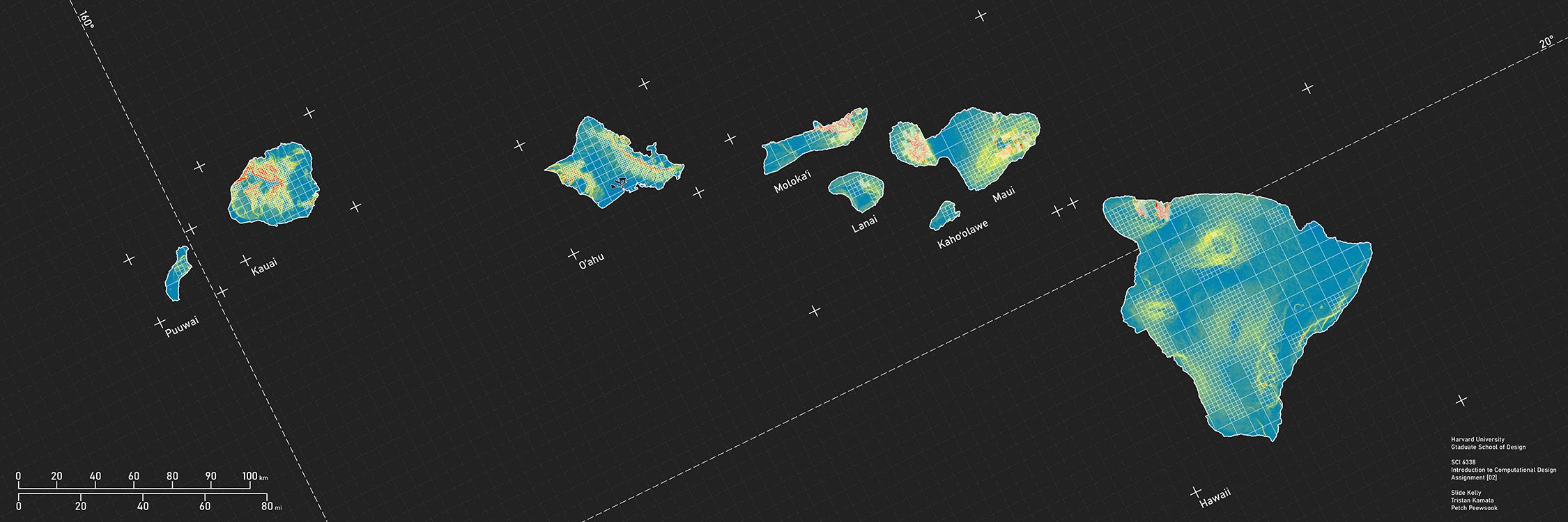
In the landscape architecture realm, understanding the place, in this case, the Hawaiian Archipelago, is crucial, as it would give us clues for designing the place. A traditional way to reveal the steepness of the slope is usually represented through a color gradient, from blue to red, translated from flat to steep, respectively, which is also limited to the two-dimensional realm. To explore a new way of representation, our team divided the islands into grids with different sizes. The bigger the square, the less the elevation changes; the smaller the square, the more elevation changes.